
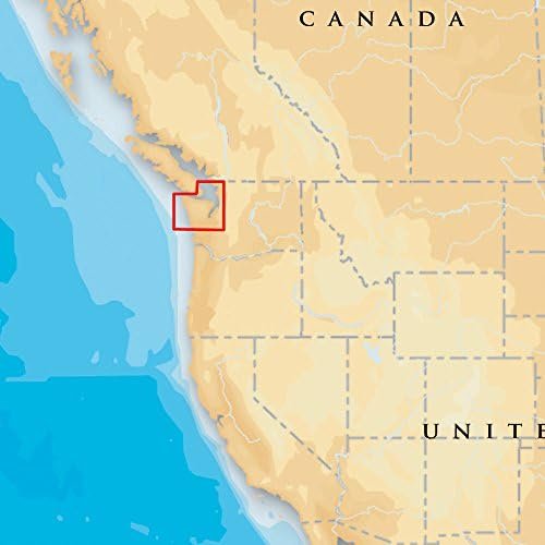
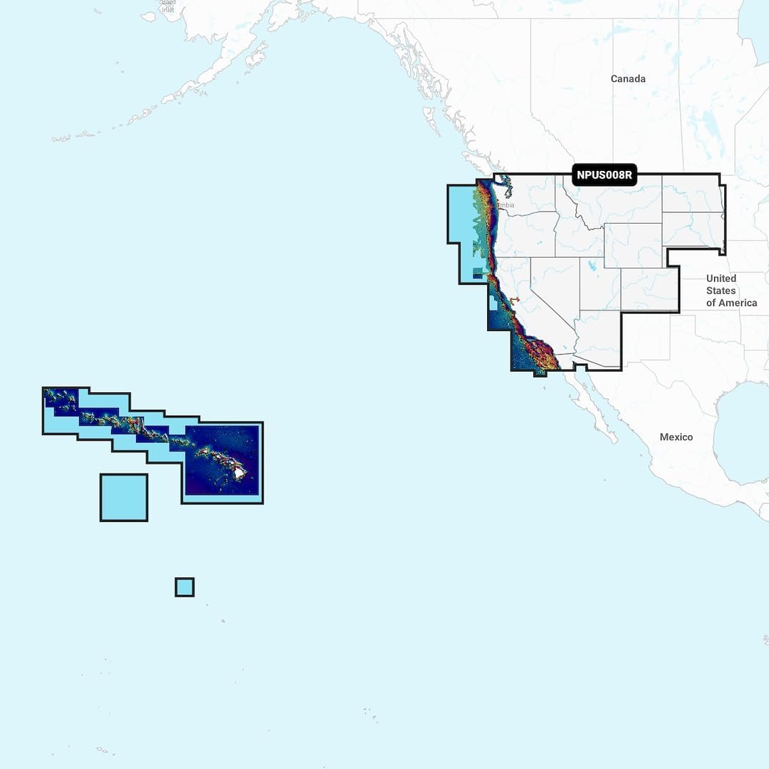
Discover Navionics US008R U.S. West Platinum+ charts featuring relief shading, satellite imagery and advanced navigation mapping tools.
13 in stock
13 in stock



The Navionics US008R U.S. West 010-C1371-40 chart card delivers premium marine navigation coverage for western United States coastal waters and inland waterways. The Platinum+ platform combines detailed nautical charts with advanced visualization features including relief shading, satellite imagery overlays, and SonarChart HD bathymetric mapping. || Relief shading helps boaters better understand underwater terrain while satellite imagery enhances shoreline identification and route planning. Additional chart content includes marinas, navigation aids, tides, currents, and detailed depth contours. || Compatible with supported chartplotters, the chart card supports Auto Guidance+ route planning and downloadable chart updates. It provides advanced navigation resources for anglers, cruisers, and recreational boaters seeking premium chart detail and visualization.
| Brand | Navionics |
|---|---|
| Model | US008R U.S. West |
| MPN | 010-C1371-40 |
| Product Type | Marine Chart Card |
| Material | Digital Media |
| Finish Color | Not Applicable |
| Dimensions | microSD Card |
| Weight (lb) | Not Published |
| Load Capacity | Not Applicable |
| Drawer Count | Not Published |
| Drawer Type | Not Published |
| Lock Type | Not Published |
| Mount Type | Chartplotter Insert |
| Installation | Plug-In Card |
| Compatibility | Compatible Chartplotters |
| Use Case | Marine Navigation |
| Warranty | Manufacturer Limited |
| Country of Origin | Not Published |
| Series | Platinum+ |
| UPC | 821245638595 |
Deliver in 3-5 business days
30 days return policy
Secure Payment at checkout
We are always here.
© 2026 Sports and Wheels


Reviews
There are no reviews yet.