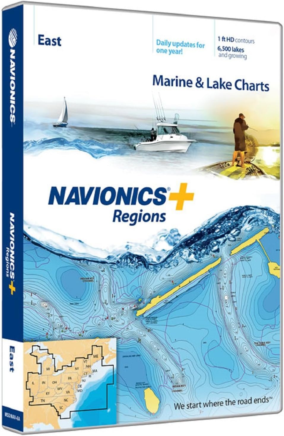
Shop Navionics U.S. East charts featuring Atlantic coastal coverage, SonarChart mapping and downloadable marine navigation updates.
30 in stock
30 in stock



The Navionics U.S. East 010-C1370-30 chart card delivers detailed marine mapping for the eastern United States, including Atlantic coastal waters, inland lakes, rivers, and navigable waterways. Designed for compatible chartplotters, it combines nautical charts with SonarChart HD bathymetry for enhanced navigation and fishing applications. || Coverage includes marinas, navigation aids, shoreline mapping, tides, currents, and detailed depth contours. SonarChart technology improves underwater visibility and supports route planning for recreational boaters, anglers, and coastal cruisers. || Compatible with supported marine electronics systems, the chart card includes downloadable updates and dock-to-dock routing functionality where available. It provides dependable navigation resources for exploring eastern U.S. waterways with confidence.
| Brand | Navionics |
|---|---|
| Model | U.S. East |
| MPN | 010-C1370-30 |
| Product Type | Marine Chart Card |
| Material | Digital Media |
| Finish Color | Not Applicable |
| Dimensions | microSD Card |
| Weight (lb) | Not Published |
| Load Capacity | Not Applicable |
| Drawer Count | Not Published |
| Drawer Type | Not Published |
| Lock Type | Not Published |
| Mount Type | Chartplotter Insert |
| Installation | Plug-In Card |
| Compatibility | Compatible Chartplotters |
| Use Case | Marine Navigation |
| Warranty | Manufacturer Limited |
| Country of Origin | Not Published |
| Series | Navionics+ |
| UPC | 821245977069 |
Deliver in 3-5 business days
30 days return policy
Secure Payment at checkout
We are always here.
© 2026 Sports and Wheels


Reviews
There are no reviews yet.