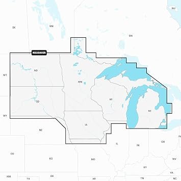
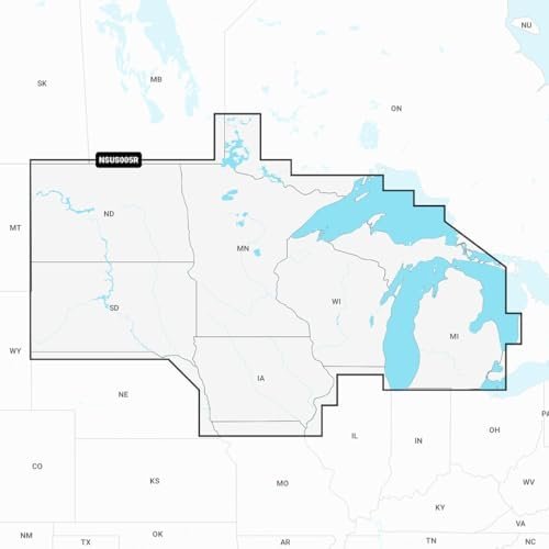
Shop Garmin Navionics+ U.S. North chart card with coastal mapping, inland waterways, depth contours, and Auto Guidance+ support.
25 in stock
25 in stock


The Garmin Navionics+ U.S. North Chart Card delivers detailed navigation coverage for northern U.S. coastal waters and inland waterways. Designed for compatible Garmin chartplotters, the chart package includes shoreline mapping, navigation aids, harbor details, and depth contour information. || Advanced Navionics+ cartography supports route planning and situational awareness through detailed marine chart data and Auto Guidance+ functionality on supported Garmin devices. Downloadable updates help maintain accurate navigation information. || Ideal for anglers, cruisers, sailors, and recreational boaters, the chart card enhances navigation confidence while integrating seamlessly with Garmin marine electronics systems.
| Brand | Garmin |
|---|---|
| Model | Navionics+ U.S. North |
| MPN | 010-C1289-20 |
| Product Type | Marine Chart Card |
| Material | MicroSD Card |
| Finish Color | Black |
| Dimensions | MicroSD Format |
| Weight (lb) | Not Published |
| Load Capacity | Not Applicable |
| Drawer Count | Not Applicable |
| Drawer Type | Not Applicable |
| Lock Type | Not Applicable |
| Mount Type | Chartplotter Slot |
| Installation | Plug In |
| Compatibility | Garmin Chartplotters |
| Use Case | Marine Navigation |
| Warranty | 1 Year Limited |
| Country of Origin | Not Published |
| Series | Navionics+ |
| UPC | 753759289836 |
Deliver in 3-5 business days
30 days return policy
Secure Payment at checkout
We are always here.
© 2026 Sports and Wheels


Reviews
There are no reviews yet.